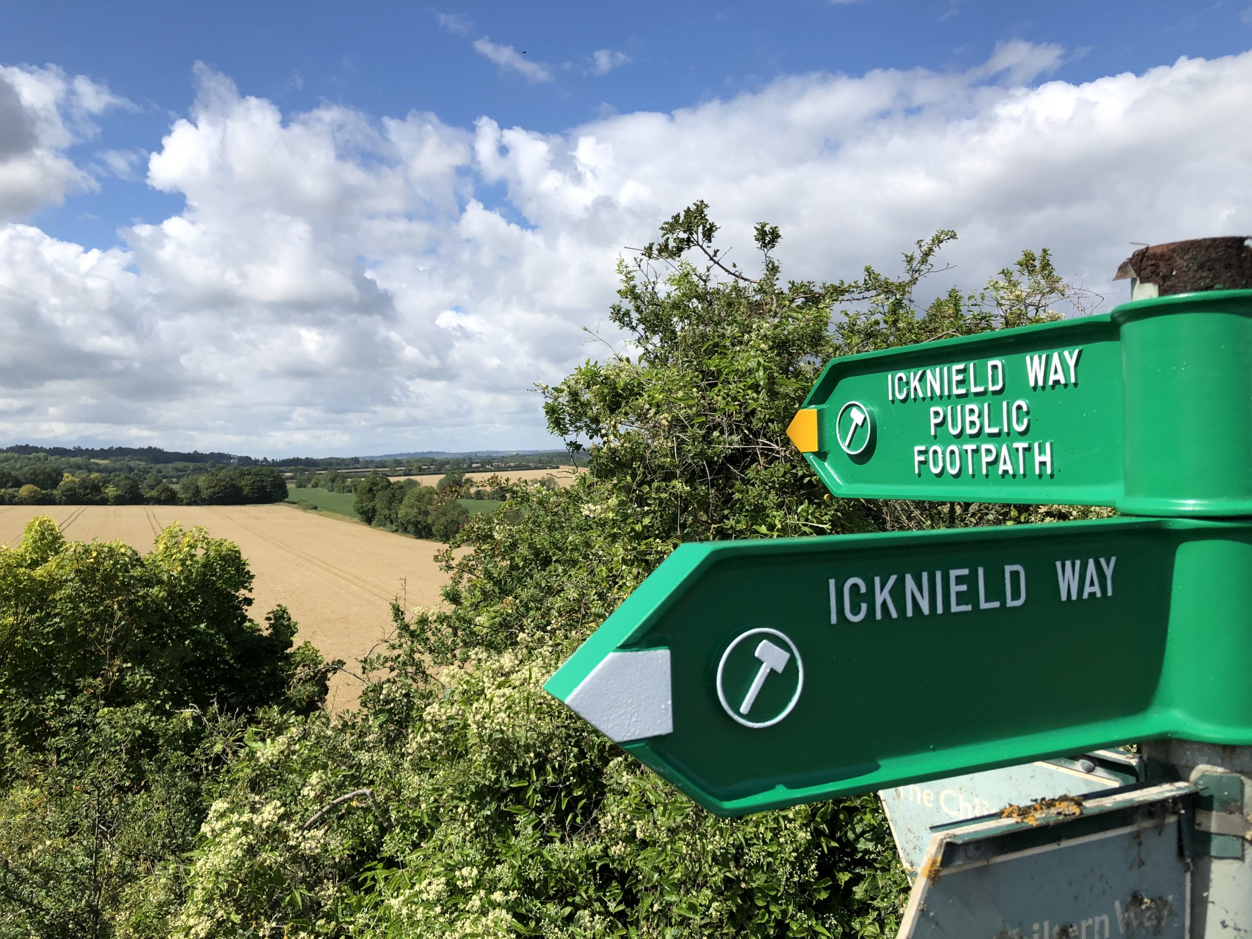
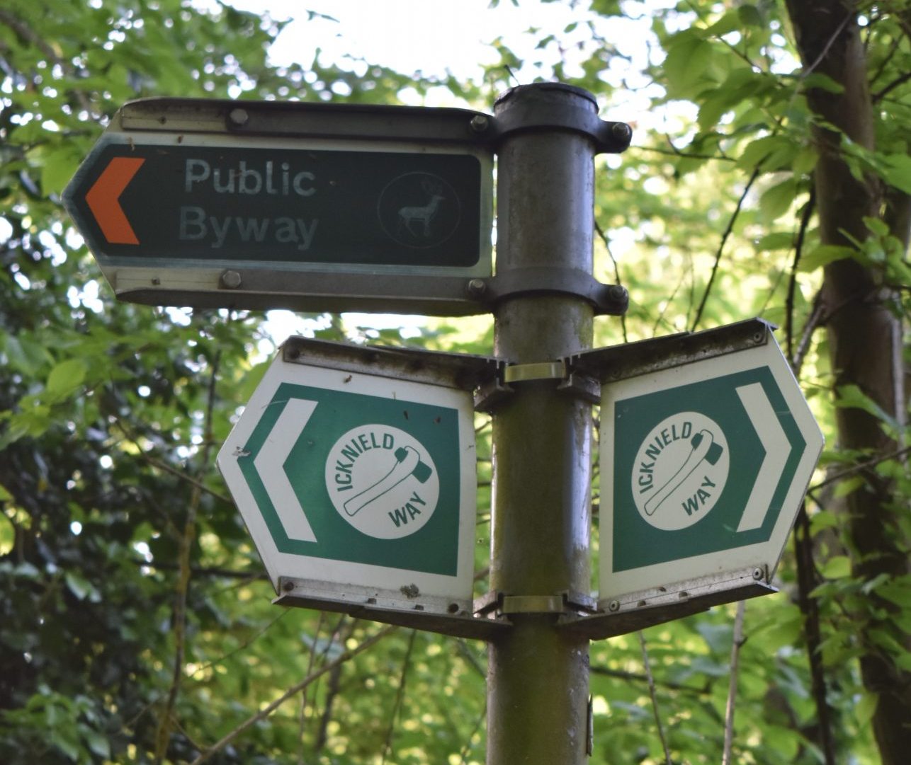
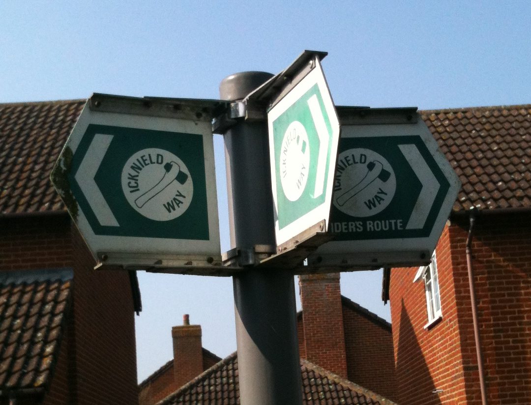
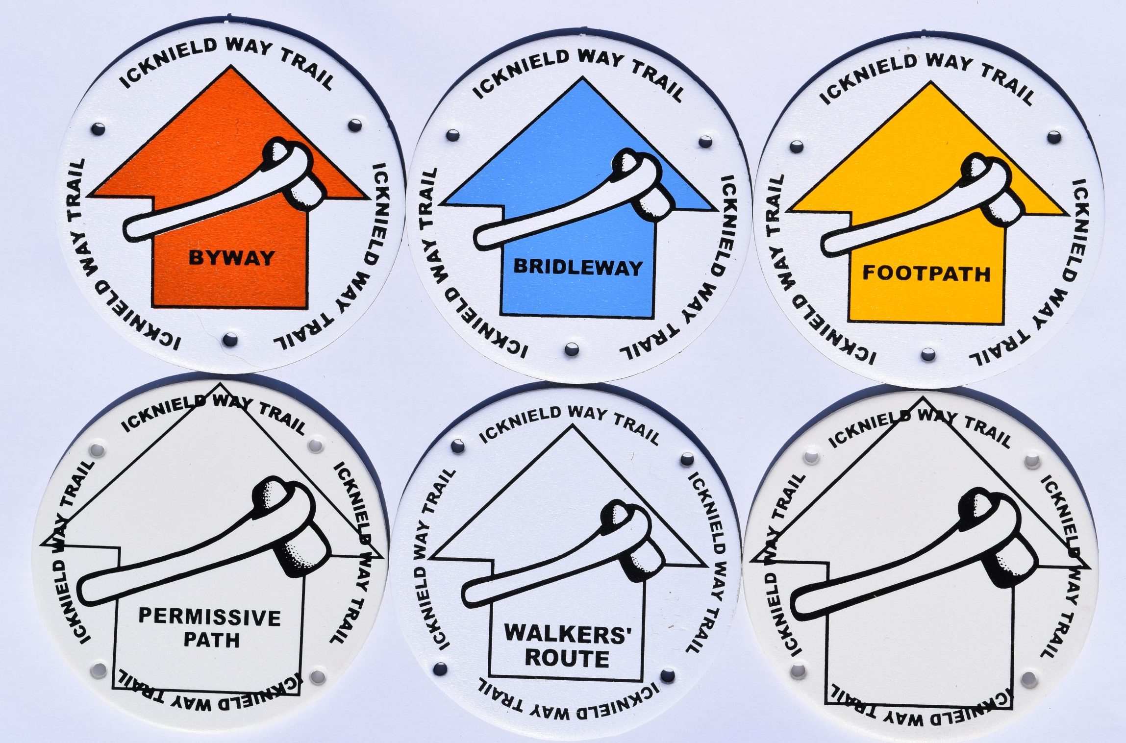
The Icknield Way is identified along its route using waymark discs and finger signs. Although the sign design changes, the axe symbol is a common theme.
Wherever possible the route follows public rights of way which are identified using these discs along the route:
- Byway Open to All Traffic (BOAT) – open to walkers, cyclists, horse-riders, horse-drawn vehicles and motor vehicles; waymarked with a red arrow
- Restricted byway – open to walkers, cyclists, horse riders and horse drawn vehicles; waymarked with a plum coloured arrow
- Bridleway – open to walkers, horse riders and cyclists; waymarked with a blue arrow
- Footpath – open to walkers only; waymarked with a yellow arrow
- Walkers’ route – where the Icknield Way trail and the Icknield Way path diverge the walkers route is identified with these discs
- Permissive paths – where the land manager has allowed the Icknield Way path to follow a route which is not aligned with a legal public right of way
In some counties, the Icknield Way ‘riders route’ indicates where the riders route diverges from the combined riders & walkers route.
You can take a pram and/or a dog with you on any public right of way. Generally dogs do not have to be kept on leads, however they must be kept under control and not allowed to wander onto adjacent fields or disturb livestock.